
Published 2026-04-05

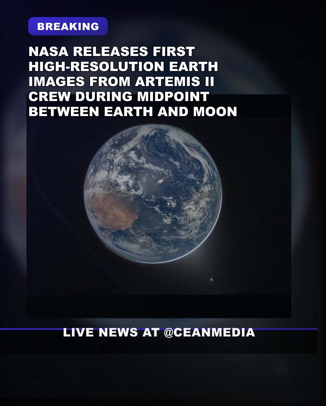
Summary: NASA has released the first high-resolution images of Earth captured by the Artemis II crew as they reach the mission’s midpoint between Earth and the Moon, marking a milestone in deep-space imagery from the lunar flyby phase.
What We Know
- The Artemis II crew has passed the halfway point between Earth and the Moon, according to NASA.
- NASA/crewmembers have released the first high-resolution images of Earth taken from deep space during the Artemis II mission.
- Initial imagery highlights Earth from a vantage point in the Earth–Moon journey trajectory as the mission advances toward its planned lunar flyby.
- Coverage of the milestone has appeared in multiple outlets reporting the midpoint and the new Earth images.
What’s Still Unclear
- Exact date and time the halfway point was reached is not specified in the available information.
- Specifics on the number of images, resolutions, or technical details of the high-resolution Earth imagery have not been provided here.
- Details about subsequent framing or shifts in imagery focus (e.g., continued Earth vs. lunar imagery) are not confirmed beyond initial reports.
Context
Artemis II is NASA’s crewed mission intended to test deep-space and crewed-flight capabilities on a path toward a lunar flyby. The milestone of capturing Earth from deep space has historically offered perspectives on our planet during outbound missions and provides scientists and the public with new imagery from beyond low Earth orbit.
Why It Matters
High-resolution Earth imagery from deep space offers a unique view of our planet and serves as a tangible demonstration of human spaceflight progress, enabling public engagement and supporting mission science and communications goals.
What to Watch Next
- Follow updates on the Artemis II mission timeline and the lunar flyby plan.
- Look for additional Earth imagery releases and any accompanying scientific or documentary context.
- Monitor coverage for changes in mission phase as crews advance toward lunar operations.
FAQ
Q: What milestone did Artemis II reach regarding Earth imagery?
A: NASA released the first high-resolution Earth images from deep space as the spacecraft reached the halfway point between Earth and the Moon.
Q: Are there details on how many images were taken or their resolution?
A: Not in the available information; specifics about image count and resolution have not been provided here.
Related coverage
- Vatican University Iranian Regime Cooperation Sparks
- Explosion Near Christian Pro-Israel Center in Netherlands:
- Vatican Iran university cooperation Islamic sciences
Source Transparency
- This article is based on a short preliminary brief and may not reflect the full details available in ongoing reporting.
- Source links are provided in the Sources section where available.
- A limited open-web check was used to clarify key details when possible; unclear items remain clearly marked.
Original brief: NASA has shared the first high-resolution images of the Earth taken by the Artemis II crew as they pass the halfway point between the Earth and the Moon….
Sources
- Artemis astronauts more than halfway to Moon, putting Earth in rearview
- New images from Artemis II showcase the moon | CNN
- Artemis II crew shares stunning Earth images at mission midpoint – MSN
- Artemis II Crew Passes Halfway Point to Moon, Sends First Stunning …
- Artemis astronauts take photo of Earth en route to Moon – RTÉ