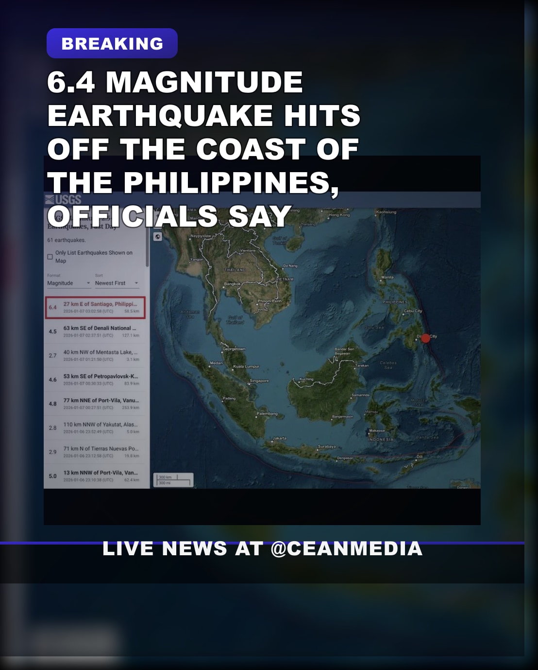
A magnitude 6.4 earthquake struck off the coast of the Philippines on Wednesday, triggered by tectonic activity in the region. The tremor was centered in the waters southeast of the island nation, with initial reports suggesting the epicenter was located offshore, approximately 50 kilometers southeast of Mindoro Island. The earthquake occurred at a depth of around 50 kilometers, according to data from the Philippine Institute of Volcanology and Seismology (PHIVOLCS).
Residents across nearby areas experienced shaking lasting several seconds. Authorities have issued warnings, but so far, there have been no reports of significant damage or casualties. Local agencies are monitoring the situation closely, especially for potential aftershocks or tsunamis. The Philippine coast is frequently affected by seismic activity due to its location along the Pacific Ring of Fire, an area known for frequent earthquakes and volcanic eruptions.
Emergency response teams have been put on alert, and residents are advised to stay vigilant, especially in coastal communities vulnerable to tsunami risks. The Philippine government has reiterated the importance of preparedness and adherence to safety protocols. Experts continue to assess the situation, and additional updates are expected as more information becomes available.
The incident underscores the ongoing seismic risks faced by the Philippines, a country that regularly experiences natural disasters including earthquakes, typhoons, and volcanic eruptions. Local authorities and international agencies remain on standby to assist if necessary.